Roads / Bridges / Tracks / Tunnels
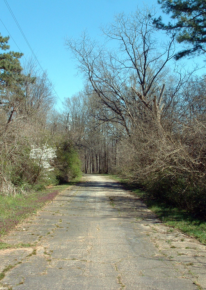
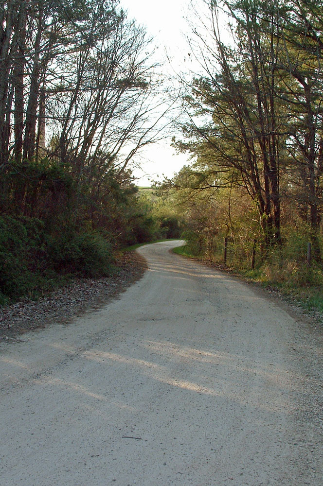
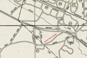
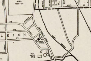
Old Avent Ferry Road
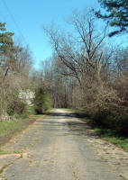
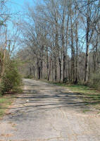
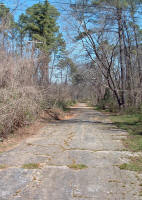
Photographed March 23, 2004 |
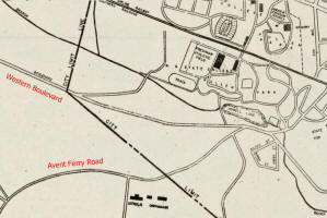
1948, 1953 street maps |
Beside 715 Nazareth Street
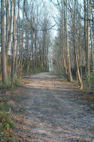
History: The northern end of Avent Ferry
Road was moved to its present location between 1950 and
1980. Previously, it weaved through Nazareth just
north of the Catholic Orphanage and intersected Western
Boulevard just west of Ashe Avenue. March 2004.
See photos from 2013.
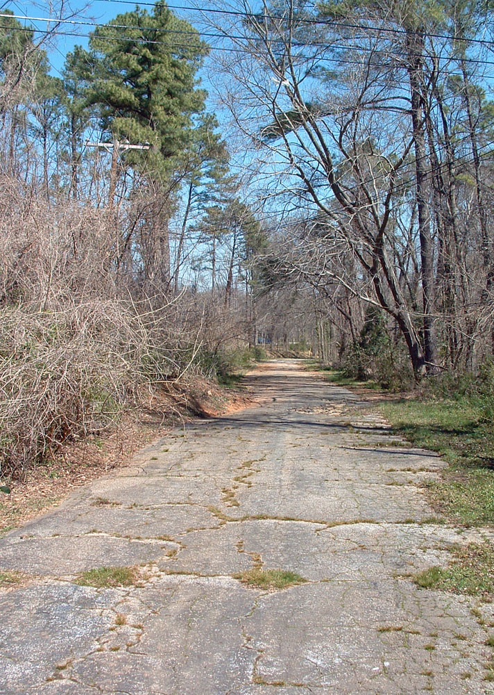
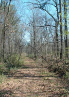
Bilyeu Street
Photographed March 23, 2004 |
1953 street map |
Parallel to old Avent Ferry Road
History: The southern end of Bilyeu Street
was closed prior to 1983 and is presently a wooded trail.
March 2004.
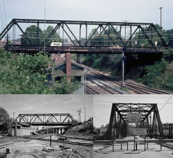
Boylan Avenue Bridge
| |
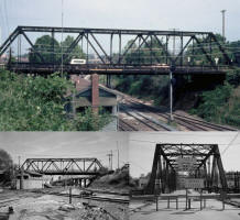
Top photo Elizabeth Reid Murray |
200 block of Boylan Avenue
Closed in 1978. Demolished later.
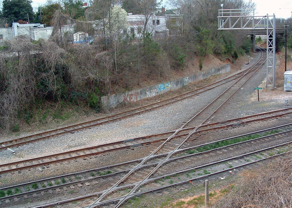
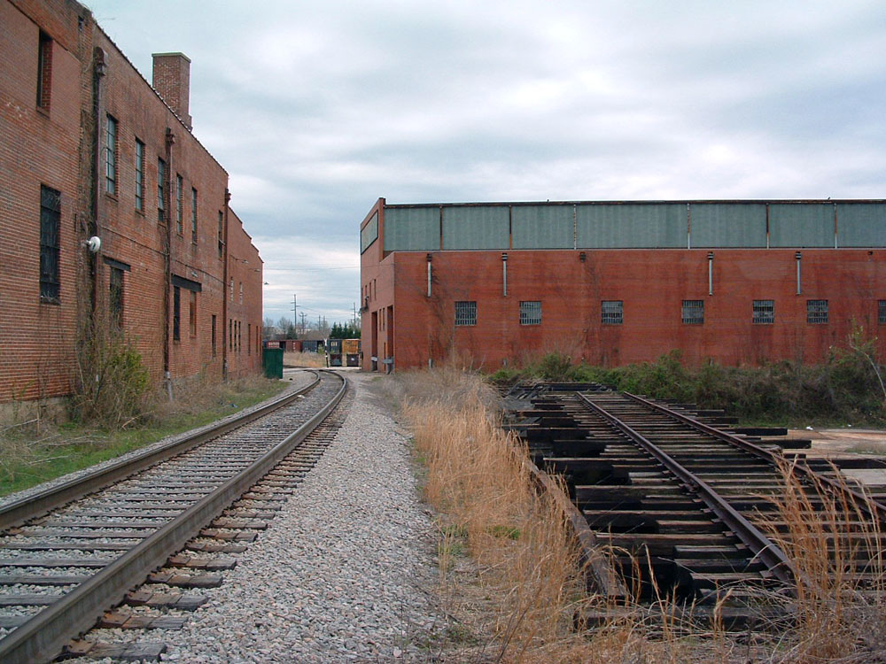
Boylan Heights Railroad Tracks
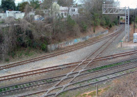
Photographed March 21, 2004 |
|
200 block of Boylan Avenue
History: Sanborn Insurance Map dated
1914 shows Southern and Seaboard Airline Railroad tracks
intersecting the main line of the
original Norfolk-Southern Railway. March 2004.
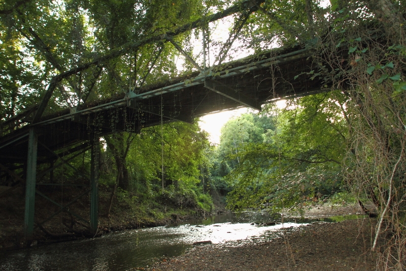
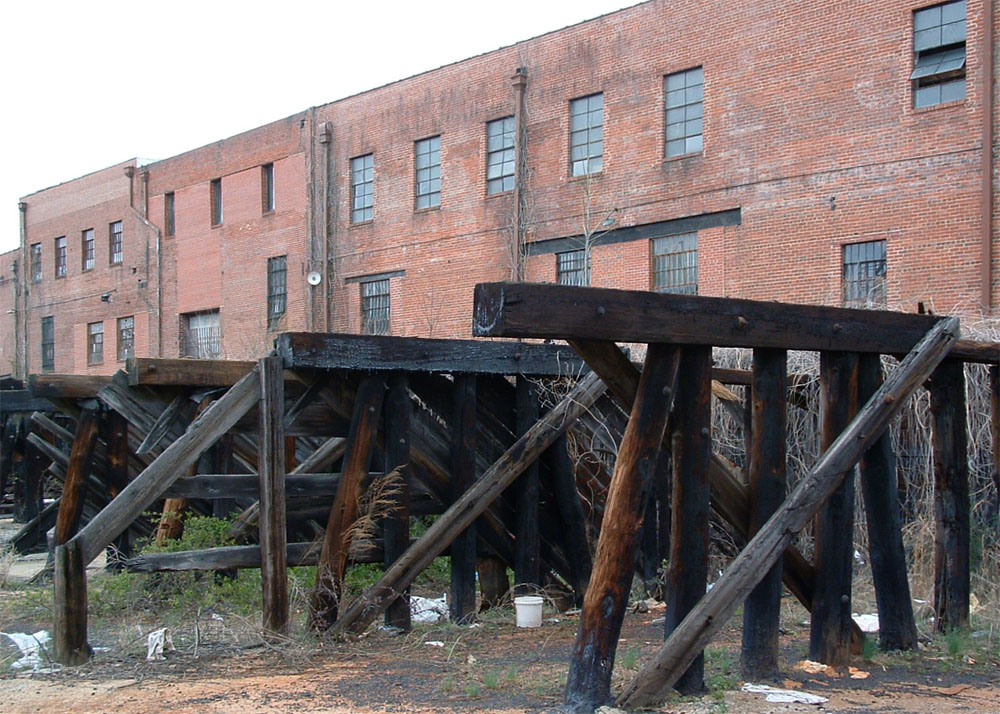
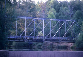
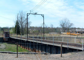
Boylan Heights Viaduct
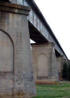
Photographed March 21, 2004
History: Sanborn Insurance Map dated
1914 shows steel trestle on at location used by
Norfolk-Southern Railroad (Raleigh-Charlotte branch).
Unknown if rebuilt in subsequent decades. March 2004.
See photos from 2013.
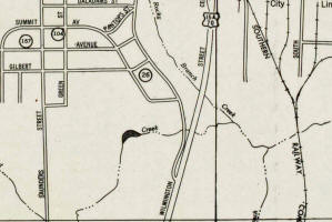
Crabtree Creek Bridge, Abandoned
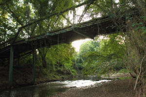
Photographed November 2, 2014.
Abandoned wooden bridge over Crabtree Creek, just south of
intersection of Glenwood Avenue and Morehead Drive.
See more photos.
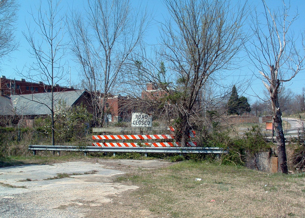
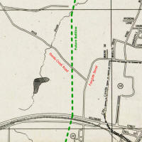
Fayetteville Road Bridge

Photographed March 25, 2004 |
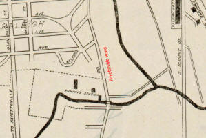
1928, 1943, 1953 street maps |
1800 block of Fayetteville Road
History: The creek bridge and the
last hundred feet of Fayetteville Road were removed in the
1950s. March 2004.
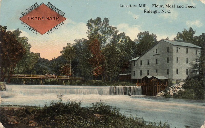
Lassiter Mill Bridge
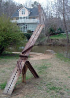
Photographed March 21, 2004 |

"Lassiters Mill. Flour, Meal and Feed, Raleigh, N.C.", Durwood
Barbour Collection of North Carolina Postcards (P077), North
Carolina Collection Photographic Archives, Wilson Library,
UNC-Chapel Hill
Preservation North Carolina Historic Architecture Slide
Collection, 1965-2005 - Photo from 1970
1953 street map |
History: Replacing an earlier wooden
bridge, this 110-foot long, 15-foot wide, 20-foot tall steel
truss bridge spanned Crabtreek Creek just west of Lassiter's
Mill from the 1920s until 1984. Originally spanning
the Neuse River north of Raleigh, a piece of the bridge
(pictured) is located at the old mill site. March 2004.
See photos from 2013.
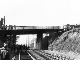
Martin Street Bridge
| |

Goodnight Raleigh photo
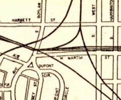
Raleigh 1948 street map |
Dead end of Martin Street.
Morgan Street Bridge
| |
News & Observer photo

Sanborn Insurance Map
|
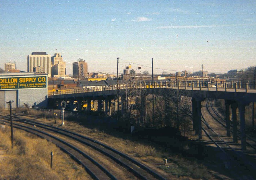
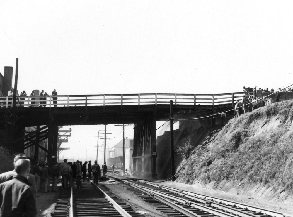
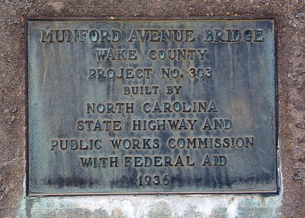
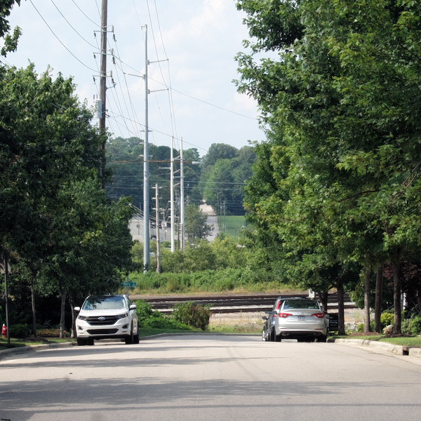
Mountford Avenue Bridge
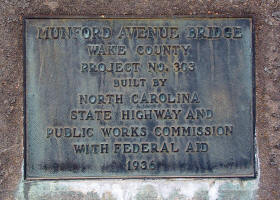
Photographed March 21, 2004
North Blount Street

Photographed July 1, 2016
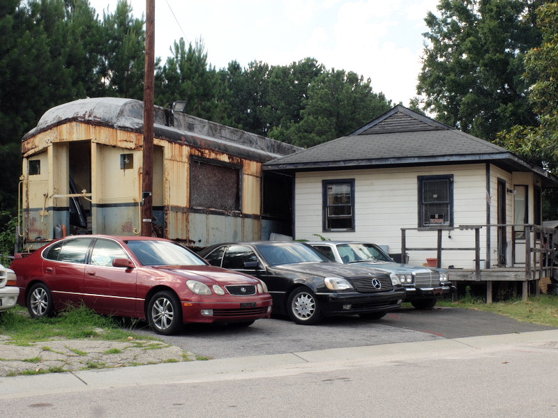
Old Railroad Car
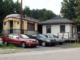
Photographed July 1, 2016
Behind 2301 Laurelbrook
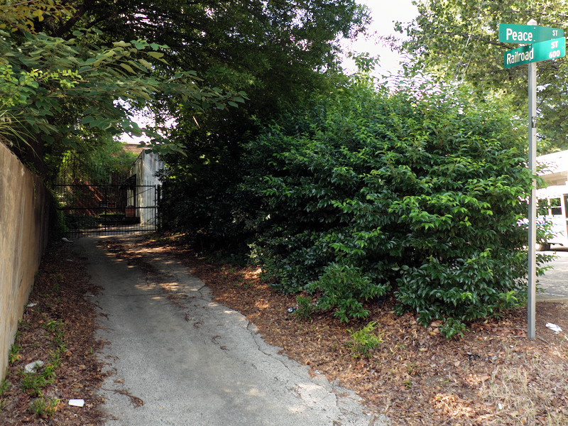
Railroad Street

Photographed July 1, 2016 |
 Sanborn Map, 1950 |
100 block of Peace Street
See photos from 2013
Railroad Trestle
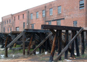
Photographed March 21, 2004 |
 |
500 block of West Hargett Street
History: Sanborn Insurance Map dated
1914 shows a wooden trestle at Johnson & Johnson Co.
coal yard with the notation "coal pockets under
trestle." March 2004.
See photos from 2013
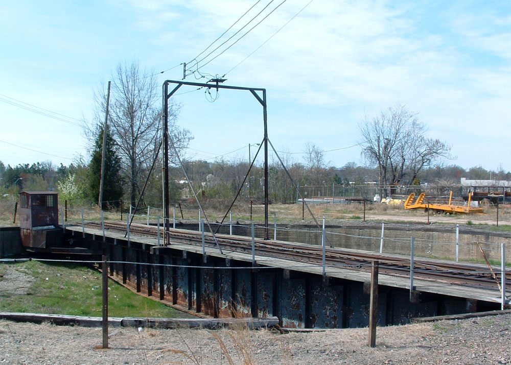
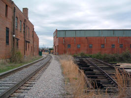
Railroad Turntable
Photographed March 21, 2004 |
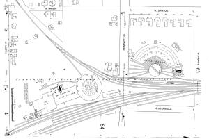
Sanborn Map, 1914 |
200 block of West Johnston Street
History: Sanborn Insurance Map dated 1909
(right) shows the still-operational turntable as part of the
Seaboard Air Lines Railroad shops. The accompanying
crescent-shaped roundhouse was demolished in 1968. March
2004.
See photos from 2013
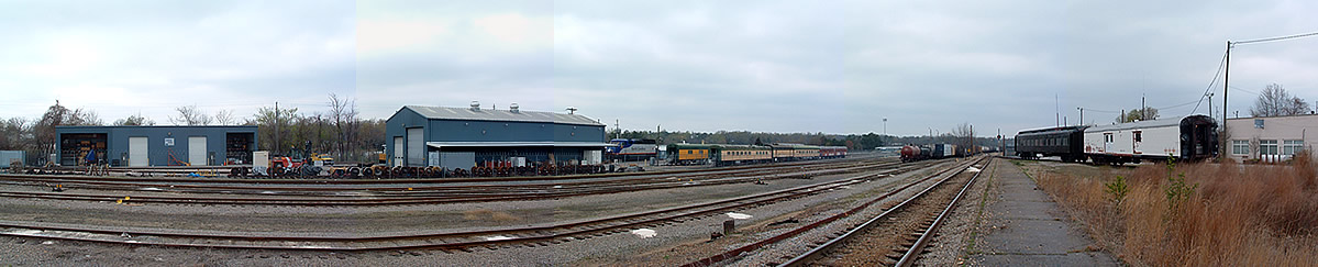
Railroad Yards
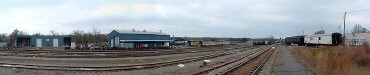
Photographed March 28, 2004Between Seward Street and Capital
Boulevard
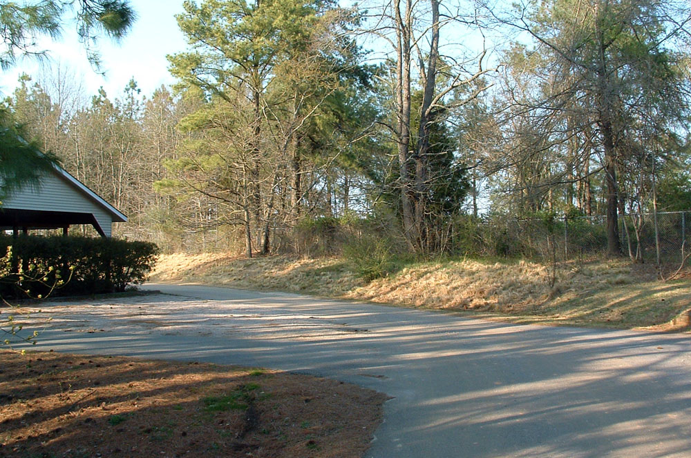
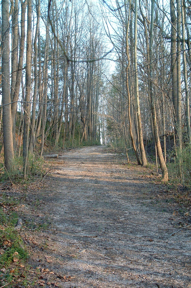
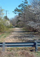
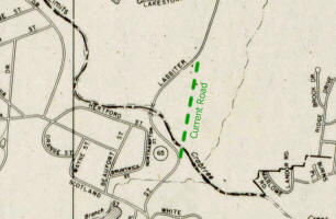
Reedy Creek Road
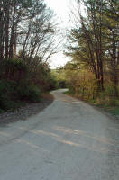
Photographed March 25, 2004 |
 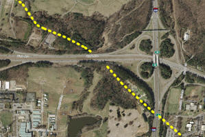
1953 street map, 2016 aerial photo |
History: Reedy Creek road originally
connected Faircloth Road on the west side of Meredith
College with Blue Ridge at the present site of the Art
Museum. Sections of the road are still visible along
the Beltline, behind the NCSU faculty club, in the woods
along Wade Avenue, and behind old Camp Polk. March 2004.
Trolley Stop

Photographed March 22, 2004
Glenwood Avenue at Harvey Street
History: This stone shelter was
constructed by the Raleigh Electric Company, the second
company to operate electric streetcars in the Capital
City. The Raleigh Street Railway Company began
scheduled runs on September 1, 1891. It was reorganized in
1894 as the Raleigh Electric Company and later incorporated
into Carolina Power & Light Company. By 1915, the
system had 12 miles of track. The last electric trolley
ceased operation in 1932. More
information. March 2004.
See photos from 2013
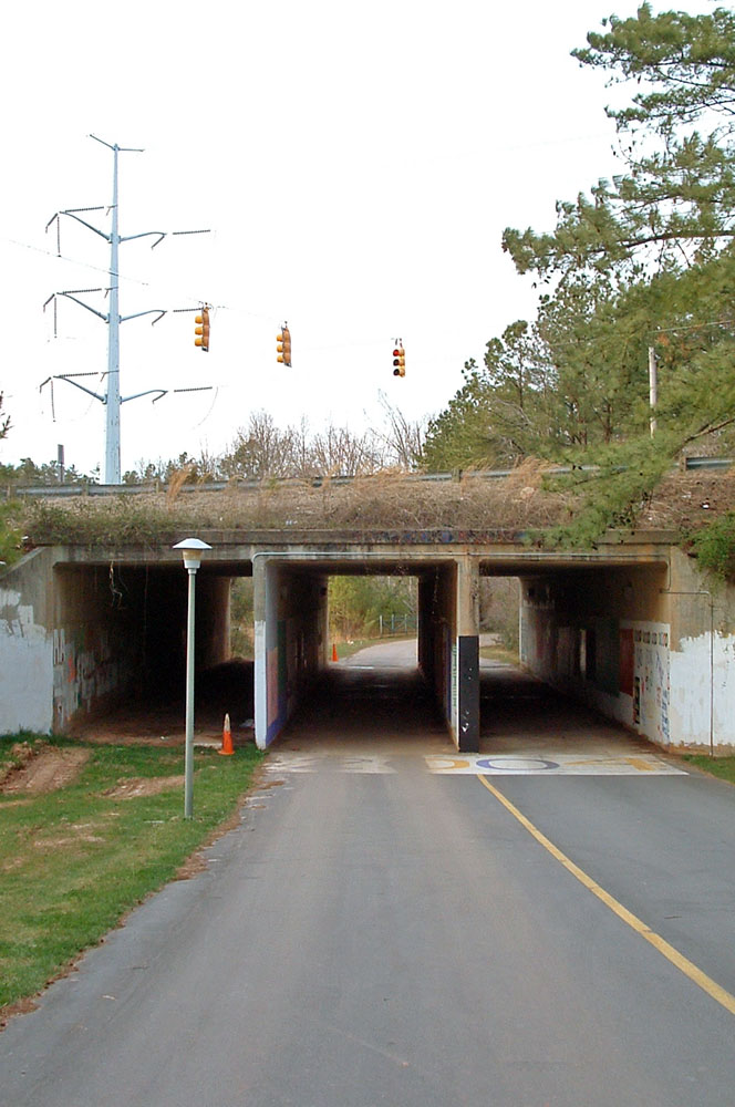
Tunnel Under Wade Avenue

Photographed March 21, 2004
Meredith College
Notes: This tunnel connects the campus with a handful of other
buildings on the other side of Wade Avenue including the President's residence.
March 2004.
Copyright 2023 by Michael J. Legeros
|