General Airport

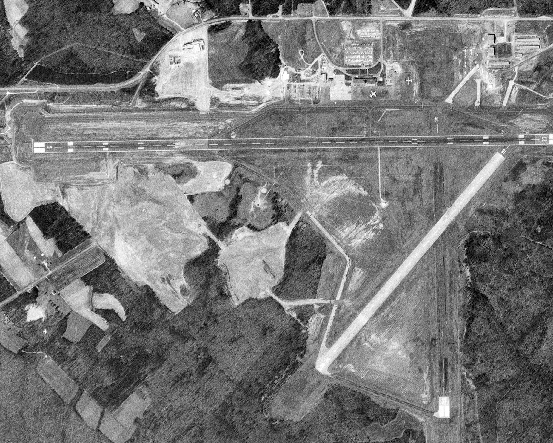
1964 aerial |

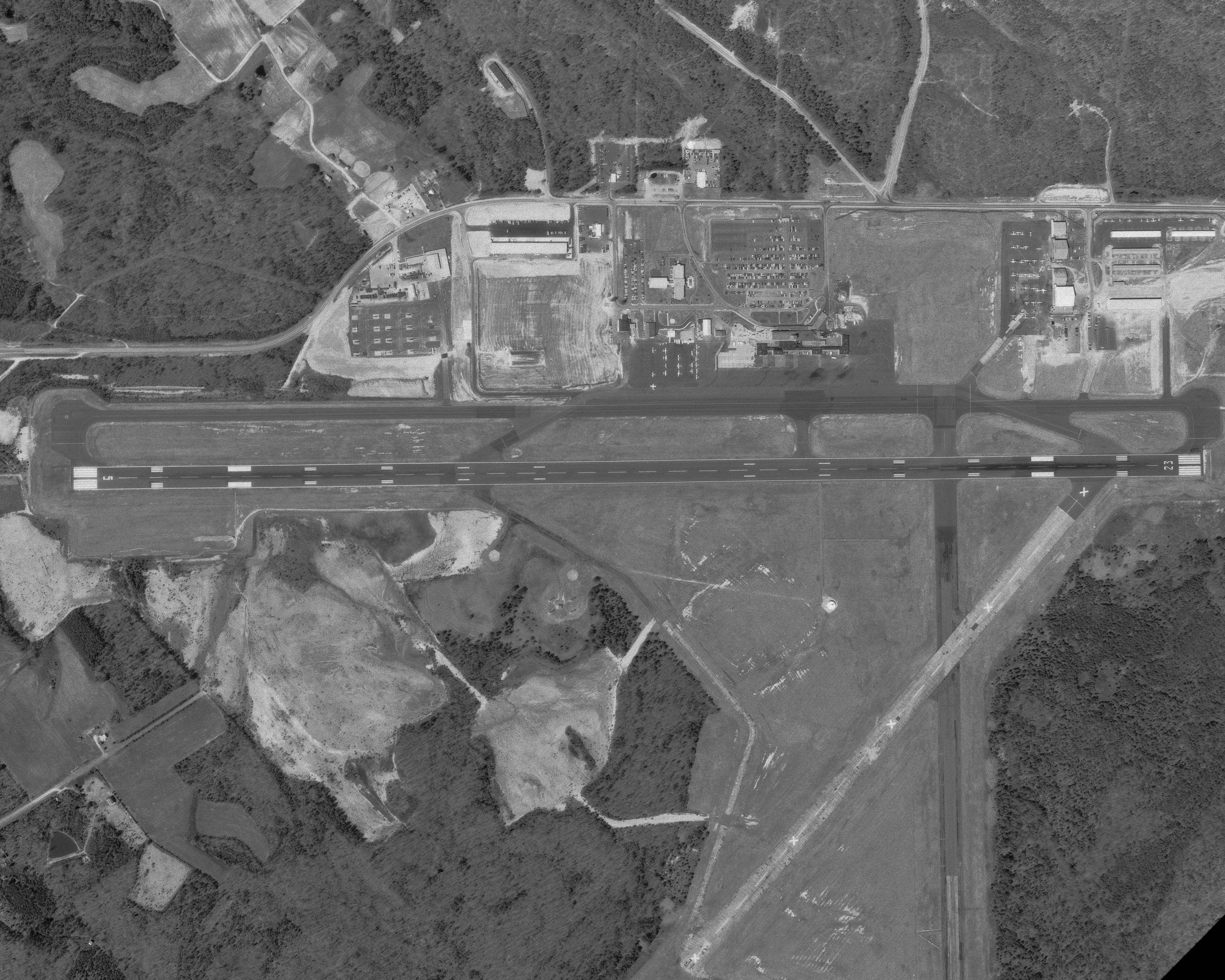
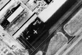
1972 aerial |

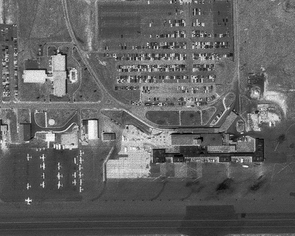
1972 aerial, closer |
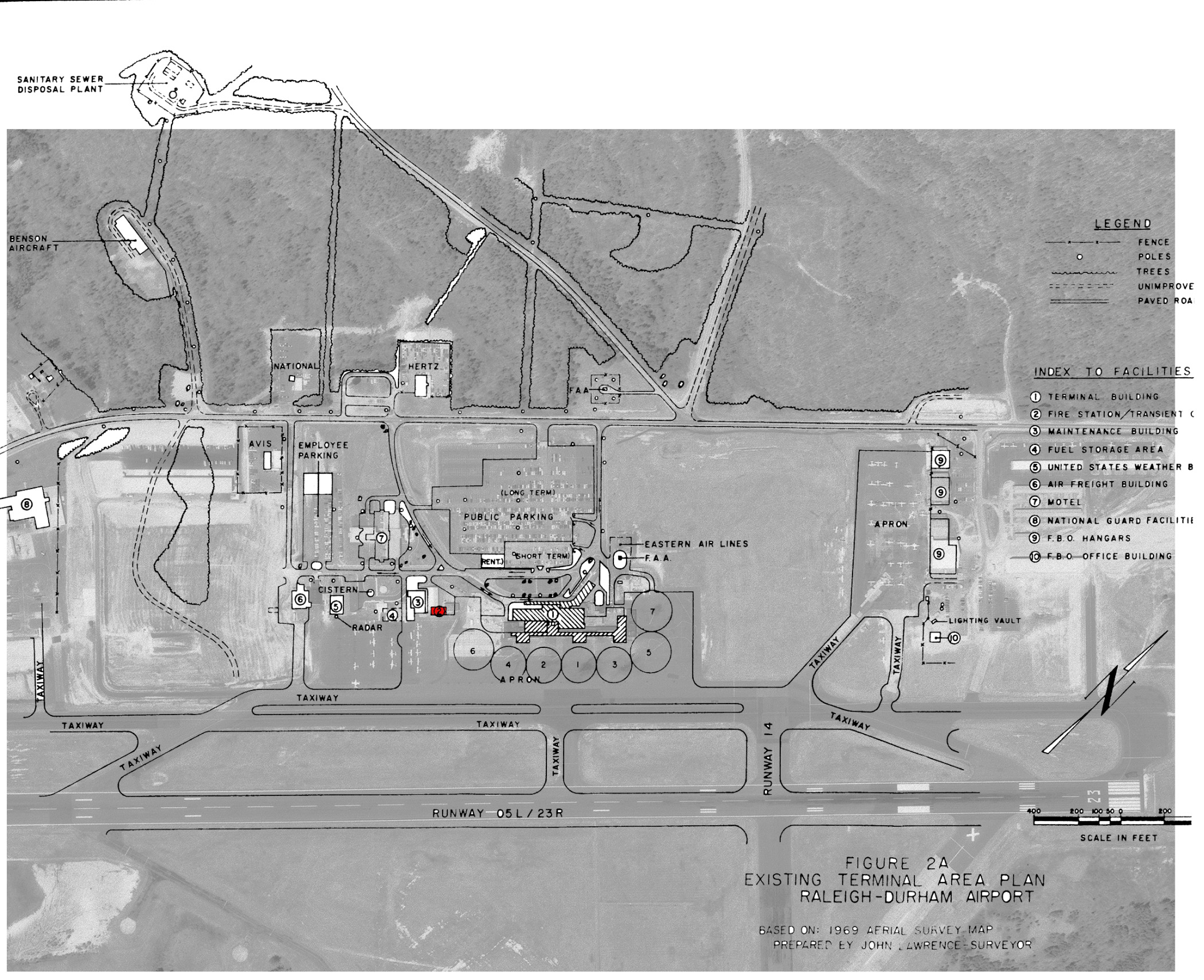
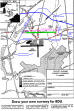
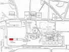
1975 map |

1975 map, overlay |
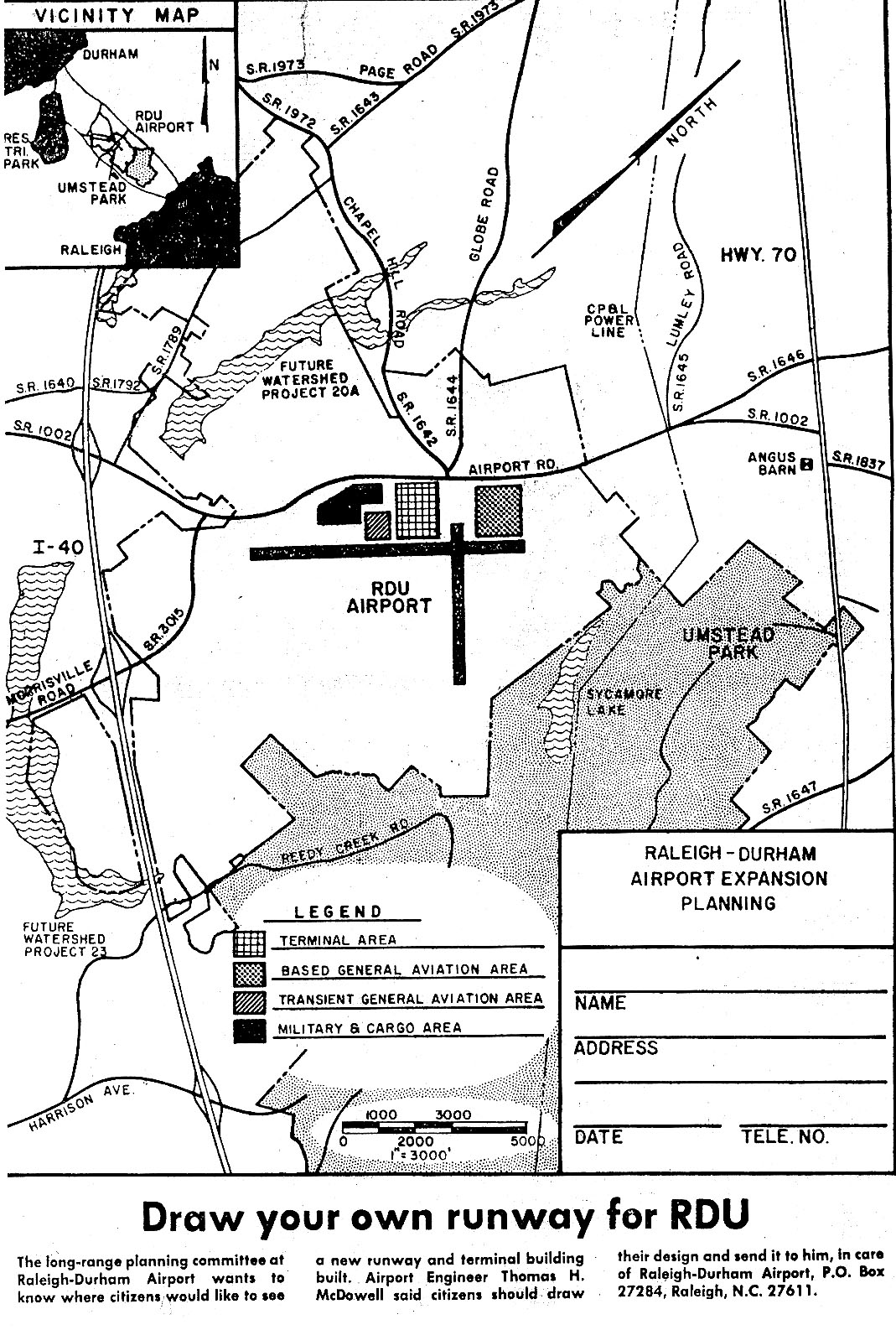
1977 draw a runway* |
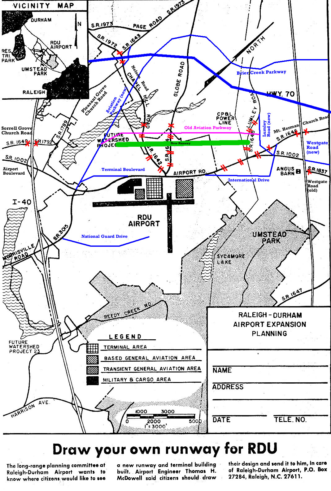
*From Raleigh Times, August 17, 1977. Annotations to map
from October 2011, showing current road changes.
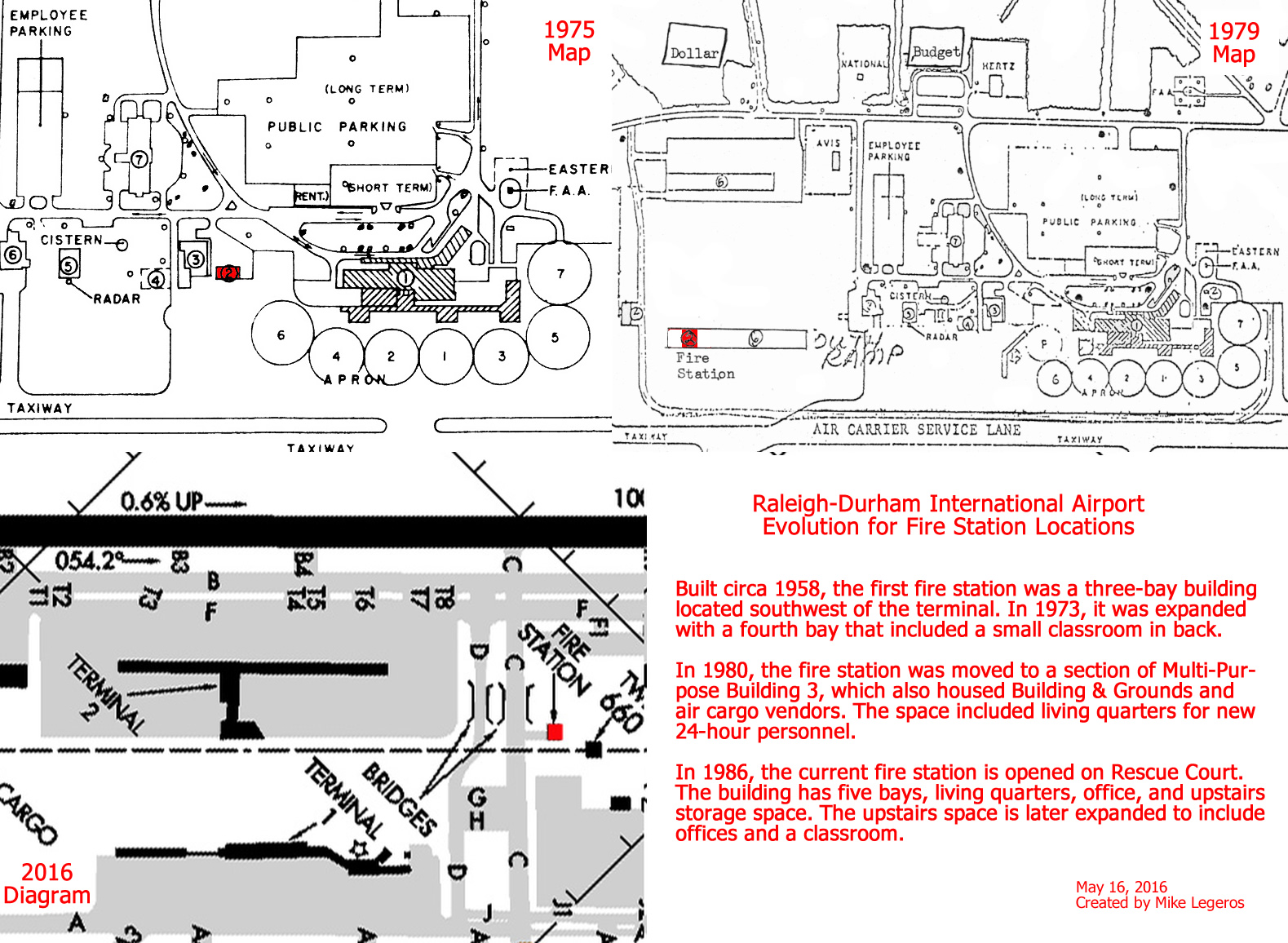
Fire Station Locations
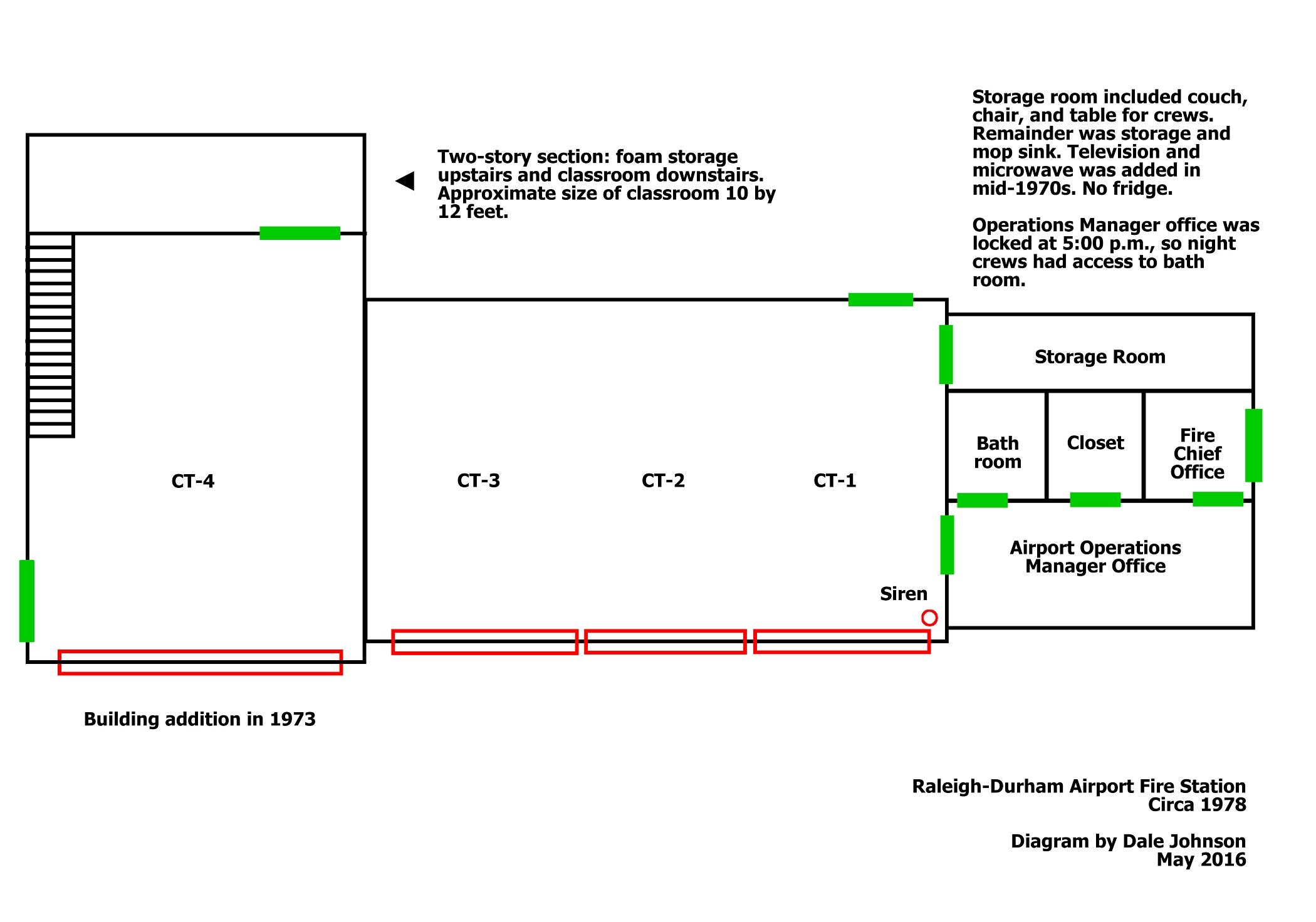
First Location
c1958 to 1980 |

1975 map, closer |

Diagram |
|
Second Location
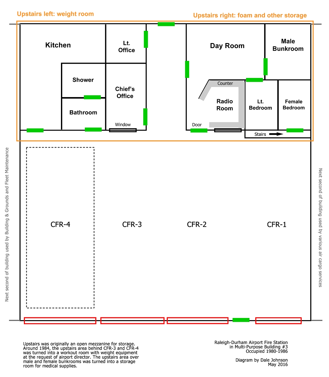
Multi-Purpose Building #3
1980-1986 |
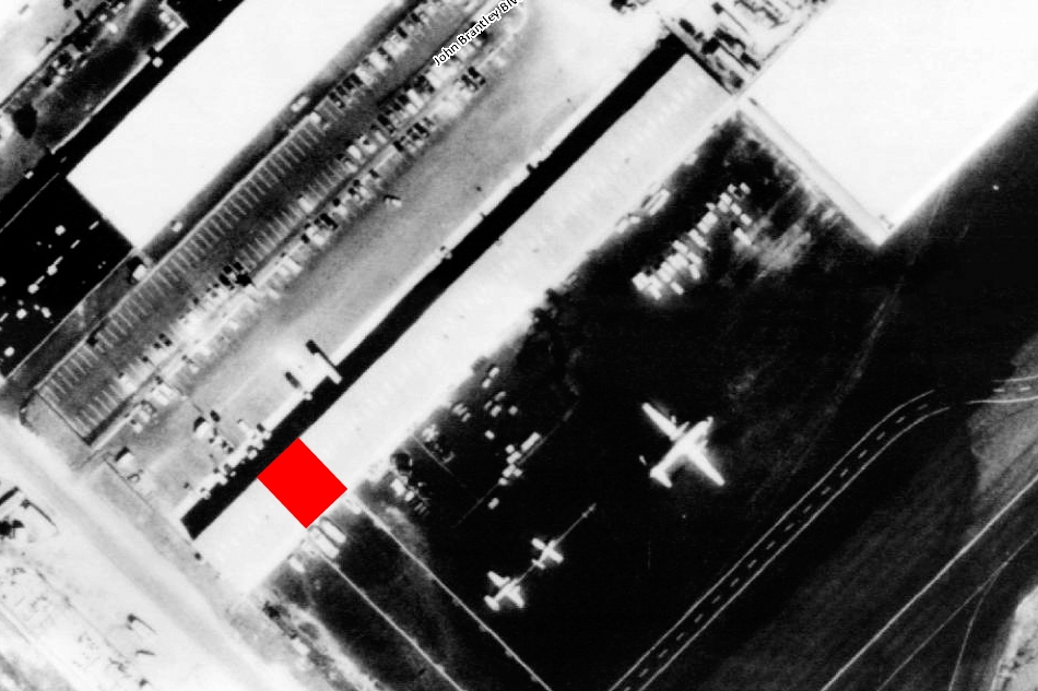
1986 aerial |
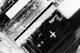
1986 aerial |

1986 aerial |
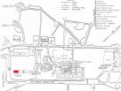
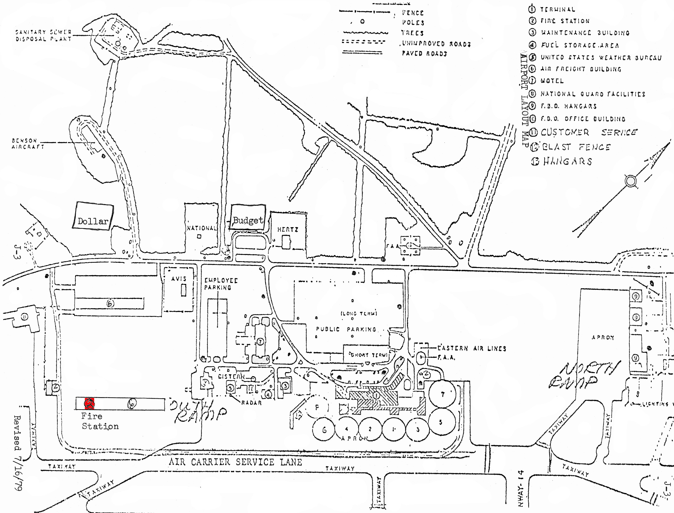
1979 map |
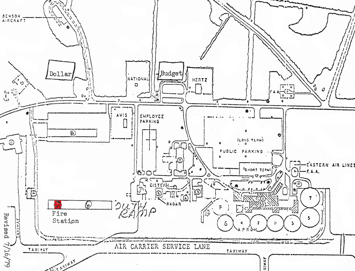
1979 map, closer |
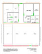
Diagram |
Third Location
Rescue Court
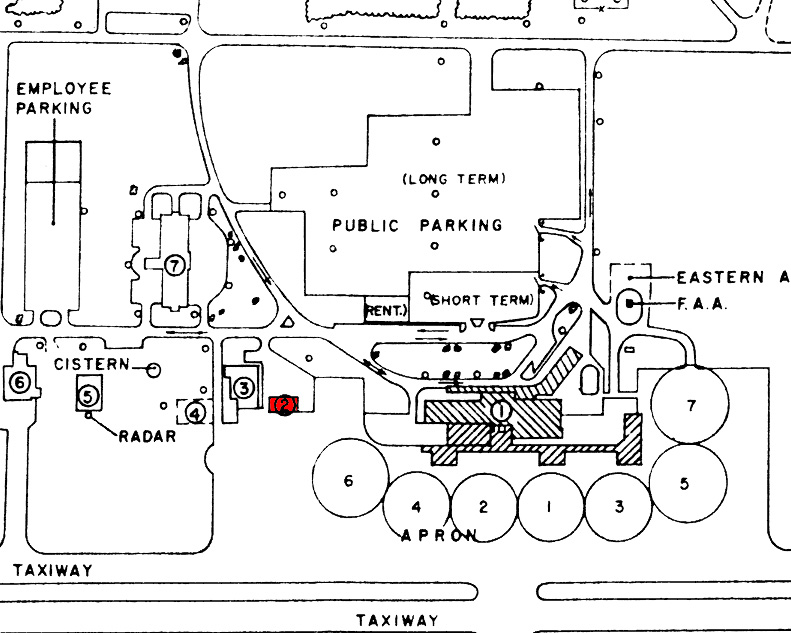
1986-present |

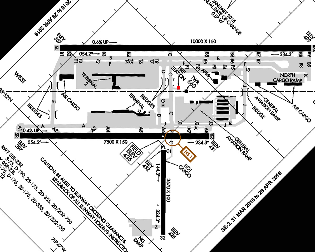
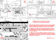
2016 FAA diagram |
|
|
|
Comparison |
 |
|
|
Aerial maps via the
USGS National Map
Last update: June 15, 2016
Copyright 2025 by Michael J. Legeros
|